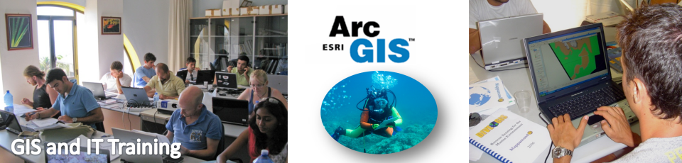
virtualpc download free download Going Here downloads click for source download only downloads site here resource downloads downloads Read More Here
Mappamondo GIS training
TRAINING

Mappamondo GIS is ready to share its experience with you! Tell us what are your development directions and we will provide the learning path that best suits you, your department and your industry! Let us show you how GIS are being used around the world in your industry and how everything that seemed impossible to you or hard to achieve is now only a few mouse clicks away! We offer a wide range of training and professional development tools through qualified instructors. The following courses are delivered at Introductory, Intermediate and Advanced level. The programs contained in the pdf files are for the Standard and Introductory level courses. For Intermediate, Advanced and "on-demand" programs please contact us.

Course calendar
JUL2011 31
Dive GIS Summer Course

Dive GIS 2011 - 31 July - 10 August

The early bird enrolment to the 6th edition of this unique course is now open!

Dive GIS course is for you if you wish to:

  1. Learn state of the art GIS and Remote Sensing methodologies used for marine applications
  2. Learn to use the ArcGIS software
  3. Become a certified diver
  4. Collect scientific data in the field and underwater
  5. Identify marine flora and fauna
  6. Be passionate about the marine environment and the conservation of its resources
  7. Network and socialize in an international environment

Learn more...

Course catalog

Introduction to ArcGIS part I

Duration: 2 days

This course covers fundamental GIS concepts as well as how to query a GIS database, manipulate tabular data, edit spatial and attribute data, and present data clearly and efficiently using maps and charts. Participants learn how to use ArcMap, ArcCatalog, and ArcToolbox and explore how these applications work together to provide a complete GIS software solution.

Introduction to ArcGIS part II

Duration: 3 days

This course is a natural follow up to Introduction to ArcGIS part I. With further exploration of ArcMap, ArcCatalog, and ArcToolbox, students focus on advanced concepts and tools for spatial analysis, spatial data management and editing, cartographic display and reports. Topics covered include working with geodatabases, geocoding, georeferencing, geoprocessing and customization of the user interface.

Remote Sensing of the environment

Duration: 3 days

This course provides an overview of all fundamental Remote Sensing science concepts, including notions about the electromagnetic spectrum and the interaction of the electromagnetic radiation with the atmosphere, water and different targets. It also gives an insight on the different type of sensors, satellites and current applications of remote sensing. It then goes into the aspect of image acquisition, processing and analysis with particular attention to image visual interpretation and supervised and unsupervised classification methodologies. Accuracy assessment concepts and methods are also presented as an essential aspect.

Marine GIS

Duration: 2-5 days

This course intends to give an in depth overview of the application of Geographic Information Systems (GIS) mapping and analyses to marine environments. The course is organized in several independent modules to suite several custom training needs. It will cover subjects like marine GIS datasets and methods of data collection in the marine environment (Lidar, Multibeam, ROV, satellite data), calculation of benthic complexity parameters, habitat suitability modeling, marine protected areas systematic design, GIS methods for fisheries dynamics studies, mathematical interpolation of point data, GIS for tracking marine fauna and the ArcGIS Marine Data Model. Each module is completed by a hands-on tutorial in ArcGIS.

Download detailed program

Spatial Analyst

Duration: 3 days

Explore how the ArcGIS Spatial Analyst software extension uses raster and vector data in an integrated environment. This course teaches basic raster concepts and shows how to use ArcGIS Spatial Analyst tools to create, run, and edit spatial models. It focuses on problems that are best solved in a raster environment such as surface analysis and distance measurement. Participants are shown how to use the raster tools in ArcGIS Spatial Analyst and learn how to build grid-based datasets.

Geoprocessing and the Model Builder

Duration: 2 days

ArcGIS software provides many tools for solving complex spatial problems. This course, created for the experienced ArcGIS user, examines modeling techniques used in spatial analysis and introduces processes and tools that can be used to perform a variety of GIS analysis tasks. The ArcGIS geoprocessing framework, specifically ArcToolbox, ModelBuilder, and the command line is emphasized. Project-based exercises draw from a range of interesting real-world GIS applications.

Programming with ArcObjects

Duration: 3 days

ArcObjects components are the building blocks of ArcGIS software. ArcObjects can be used to extend core ArcGIS functionality and create custom applications. This course provides a foundation for application development using VBA and ArcObjects. In course exercises, participants create usable ArcObjects code working with VBA development tools. Sample code from which students can build their own applications will be provided.

Introduction to Web GIS with ArcGIS Server

Duration: 3 days

ArcGIS Server provides a complete server-based GIS system that supports the use of centrally managed spatial data for mapping and analysis. This course introduces ArcGIS Server and teaches how to configure and use the product as administrators and consumers of GIS services. Students learn how to publish maps, globes, and geoprocessing models that are optimized for performance. Students also create out-of-the-box Web applications using Manager and learn how to use GIS services in both Web applications and ArcGIS Explorer.

Introduction to Web GIS with Google Maps APIs and KML data

Duration: 2 days

The Google Maps API are JavaScript based APIs that let you create robust web map applications. In this course you will learn the basic about creating web maps and adding and administering geographic and other types of content. You will also learn to master the OGC standard KML data format for sharing geographic data over the web and through Google Earth.

Geodatabase design, management and editing

Duration: 2 days

Students learn how to use ArcCatalog to manage their data and about the different types of geodatabase that are available. Students will be introduced to tools for creation, loading and manipulating of data and will work with the most common geodatabase elements. Students learn about geodatabase behaviour including subtypes, domains, topology & relationship classes